

Esgeiriau Gwynion [Foel Rhudd]
Good walks are even better shared.
SH8923 : A river of grass between the peat haggs
David Medcalf Photo source
Overview
Esgeiriau Gwynion [Foel Rhudd]
Esgeiriau Gwynion, standing tall at 703 meters, graces the Snowdonia landscape with its rugged charm. A Marilyn in status, this mountain offers a rewarding climb for both seasoned walkers and enthusiastic novices.
Geology
The mountain is primarily made up of volcanic rock, shaped beautifully by millennia of glacial activity. The noticeable scree slopes and rocky outcrops remind you that Mother Nature has a knack for artistry.
Routes
One of the most popular routes is the Llyn Cwm Gwyrfai Route, which provides a moderate challenge with stunning views aplenty. It covers about 6.5 kilometers and typically takes around 3.5 hours, making it a manageable day trip.
Summit Features
Upon reaching the summit, you are greeted by a trig point and a friendly cairn, which—let’s be honest—always looks as if it has a story to tell about the hikers who have gone before.
Terrain
Expect a delightful mix of grassy patches and rocky outcrops. Watch out for heather that will try and have you believe that walking is just an excuse to admire flora.
Views
The views from the summit are simply breath-taking, offering sightlines to the majestic peaks of the Snowdon massif and the idyllic valleys of Ffestiniog. Spring and autumn are prime seasons for visibility, so don’t forget your camera!
Hazards
Keep your wits about you—weather can change with the swiftness of a British summer, and paths can become muddy after rainfall.
Access
Parking is available at a lay-by on the A498, but remember, spaces are limited, so consider arriving early. If you’re relying on public transport, the nearest jump-off point will have you hiking a few kilometers from the bus stop.
Facilities
Nearby Beddgelert offers a feast of local cafés and shops, plus all important public toilets. Reward yourself post-hike—after all, you’ve earned those calories!
History
The name Esgeiriau Gwynion means 'the white ridge,' which is quite fitting for a mountain holding its head high with its light grey summit rocks. This area has a rich history, with signs of ancient settlements nearby, serving as a gentle reminder that people have enjoyed this landscape long before our hiking boots made the trail.
In conclusion, Esgeiriau Gwynion [Foel Rhudd] is a must-visit for any hillwalker in search of stunning views and a slice of Welsh heritage. So lace up those boots, don your best hiking hat, and get out there!
Explore routes near Esgeiriau Gwynion [Foel Rhudd]
Walks starting near this hill. Open a route to check its map, distance and full itinerary.
Aran Benllyn and Aran Fawddwy from LLanuwchllyn
View route
Waun-oer, Maesglase and Cribin Fawr guided mountain walk
View route
Arenig Fach guided mountain walk
View route
Coed y Brenin: Pont Ty'n-y-groes and Mawddach Forest Trail
View route
Route planning notes
These notes describe possible approaches. Check a route's map and access information when planning your walk.
Llyn Cwm Gwyrfai Route
A scenic ascent starting from the shores of Llyn Cwm Gwyrfai, offering gentle slopes leading up to the summit with breathtaking views along the way.
Make a day of it, together
Find someone to share the walk with, or organise a day out along a route you like.
Photo Gallery
View all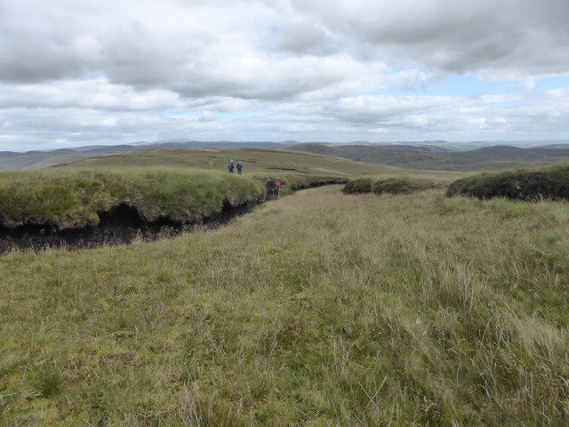 Photo could not load
SH8923 : A river of grass between the peat haggs
David Medcalf
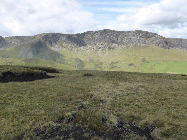 Photo could not load
SH8823 : Looking across Cwm Du to Aran Benllyn
David Medcalf
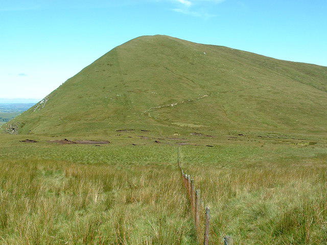 Photo could not load
SH8823 : Esgeiriau Gwynion from Bwlch Sirddyn
Bill Rowley
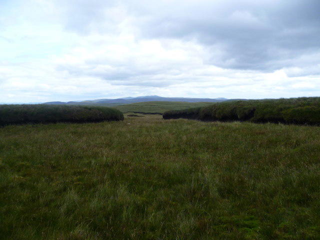 Photo could not load
SH8823 : Eroded Hagg
Michael Graham
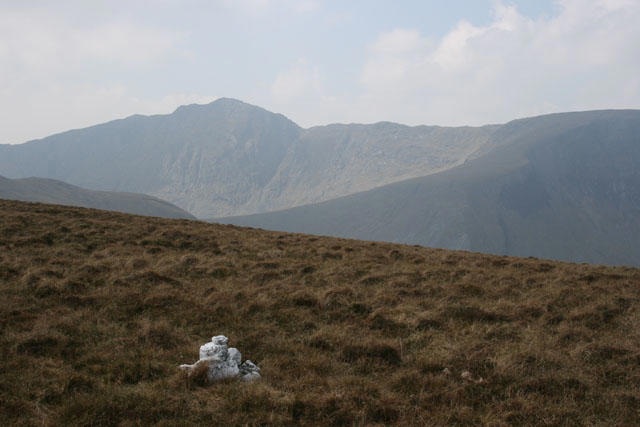 Photo could not load
SH8823 : Carnedd trist. Sad cairn.
Rob Piercy
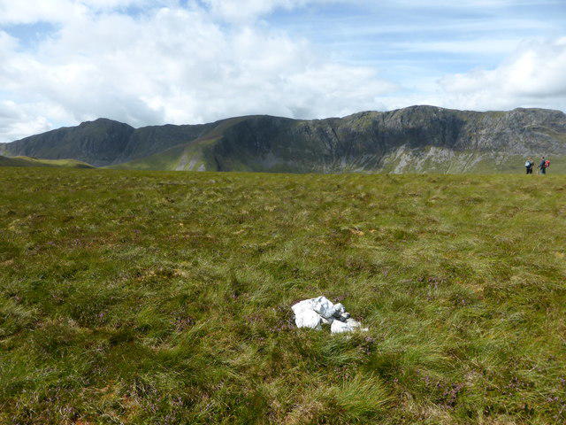 Photo could not load
SH8823 : Small cairn, amazing views
David Medcalf
![SH8823 : Esgeiriau Gwynion [Foel Rhudd]](https://cdn.walkmates.com/gallery-images/08a37d850cea45c8bf42104c42ba3ed4.jpg) Photo could not load
Photo could not load
SH8823 : Esgeiriau Gwynion [Foel Rhudd]
Rude Health
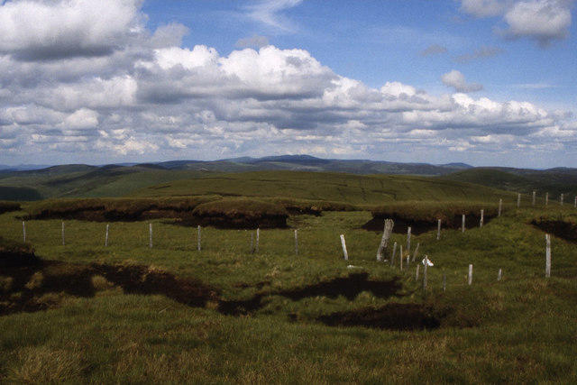 Photo could not load
SH8823 : Fence junction at top of Esgeiriau Gwynion
Colin Park
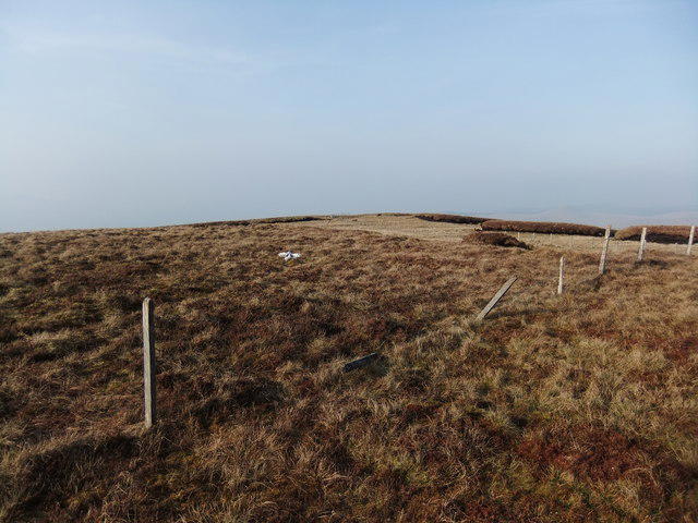 Photo could not load
SH8823 : Esgeiriau Gwynion
David Brown
Hill facts and local notes
Classifications
Elevation
670m
2,198 ft
Prominence
170m
Coordinates
52.7987, -3.6489
SH889236
OS Map
124 125
Explorer: OL23E
At the Summit
The summit features a prominent trig point and a small stone cairn, often adorned with a few well-placed sheep's wool, as if to suggest that the local herd occasionally weigh in on the hiking community.
Terrain & Geology
Composed primarily of volcanic rock, Esgeiriau Gwynion showcases stunning geological features typical of the Snowdonia region, including scree slopes and rocky outcrops formed during the last Ice Age.
Views & Scenery
From the summit, you can savour panoramic views of the surrounding valleys, including the picturesque Ffestiniog area and the towering peaks of the Snowdon massif.
History & Heritage
Name Origin
The name Esgeiriau Gwynion roughly translates to 'the white ridge,' referring to the light grey rocks that adorn the summit, looking rather dashing in the sunlight.
Historical Significance
The area has historical significance dating back to prehistoric times, with nearby archaeological sites that hint at ancient settlements.
Getting There & Facilities
Parking
There is a lay-by at SH877221 along the A498, suitable for a few cars. Arrive early to avoid disappointment.
Public Transport
Busses run from Caernarfon to nearby villages, but be prepared to walk 4 kilometers to reach the starting point if relying on public transport.
Nearby Facilities
Beddgelert has shops, cafes, and public toilets. Treat yourself to a hearty snack at the local café – after all, you’ve earned it!
Safety Information
Known Hazards
- Be wary of sudden changes in weather; conditions can change rapidly in Snowdonia. Muddied paths may also present a challenge, especially after rainfall.
General Safety Tips
- Check weather conditions before setting out
- Carry appropriate clothing and equipment
- Let someone know your planned route
- Take a map, compass, and GPS device
- Carry emergency supplies: food, water, first aid kit, torch
Hills
Some common questions about the hills answered
Are there group walks up Esgeiriau Gwynion [Foel Rhudd]?
Many walkers use Walkmates to join or organise walks with others. You can check for group walks around Esgeiriau Gwynion [Foel Rhudd] through the maps
Are there other walkers around Esgeiriau Gwynion [Foel Rhudd]?
Activity varies by location and time, but Walkmates lets you see whether others have shared walks or shown interest in this area. Find other people through the walking friends search walking friends for Esgeiriau Gwynion [Foel Rhudd] search or of course create your own walk for Esgeiriau Gwynion [Foel Rhudd]
Can I organise a walk to Esgeiriau Gwynion [Foel Rhudd]?
Yes. If there aren’t any walks listed already, you can create a walk and make it available for others to join.
If you're signed up to Walkmates, you can create a walk to Esgeiriau Gwynion [Foel Rhudd].
How do I find a walk up this hill?
There are often multiple ways to walk this hill, depending on experience and route preference. Walkmates helps you explore walks and routes that others have shared.
Can I suggest a new route up Esgeiriau Gwynion [Foel Rhudd]?
Yes. You can suggest or create routes to share with others. Walkmates focuses on the social side of walking, so routes are used to help people organise walks and explore areas together, rather than as detailed navigation tools or route libraries.
Other uses really appreciate knowledgeable walkers sharing their routes. Share your favourite route to Esgeiriau Gwynion [Foel Rhudd] here
The is an error or something incorrect about this hill. How do I let you know?
We always strive to keep the information on Walkmates as accurate as possible. If you find an error, please let us know through the contact form and we'll aim to correct it as quickly as possible
Community Discussion
Comments
Location
![Esgeiriau Gwynion [Foel Rhudd] location map](https://cdn.walkmates.com/hill-maps/hill-sources/2104/52.79866_-3.64889.png)
Grid reference: SH889236
View on OpenStreetMapOpens a map in a new tab, centred on the hill.
No comments yet. Be the first.